




What a difference a couple months make in Louisiana. Whereas May and June were marked by torrential rains throughout the state, August is a completely different story. LSU Health Climatologist Barry Keim says this month has been almost completely devoid of rain throughout the state.
“We’ve averaged about 7/10 of an inch across the entire state so far in August. August usually gets five inches of rain; so needless to say, we are way, way behind,” Keim noted.
Keim says two things are contributing to this unusually dry August here in Louisiana. One is El Niño, which is being largely credited for the forecast of a below-normal hurricane season. The other, Keim says, is a lot of high pressure in the Gulf of Mexico which is serving as a pump of hot air into Louisiana.
“It holds down the thunderstorms, so there’s high pressure and we have more subsidence of the air rather than air uplifted; so it holds down the clouds, the thunderstorms, but it just pumps all this warm, moist air off the Gulf into Louisiana,” Keim explained.
Keim says whereas May and June reversed drought conditions throughout much of the state, August could be bringing them right back.
“You can go into a drought pretty darn fast with these kinds of temperatures and this kind of heat pressure on the system, to create evaporation and transpiration; and next thing you know, there’s essentially no moisture left on the surface,” Keim said.
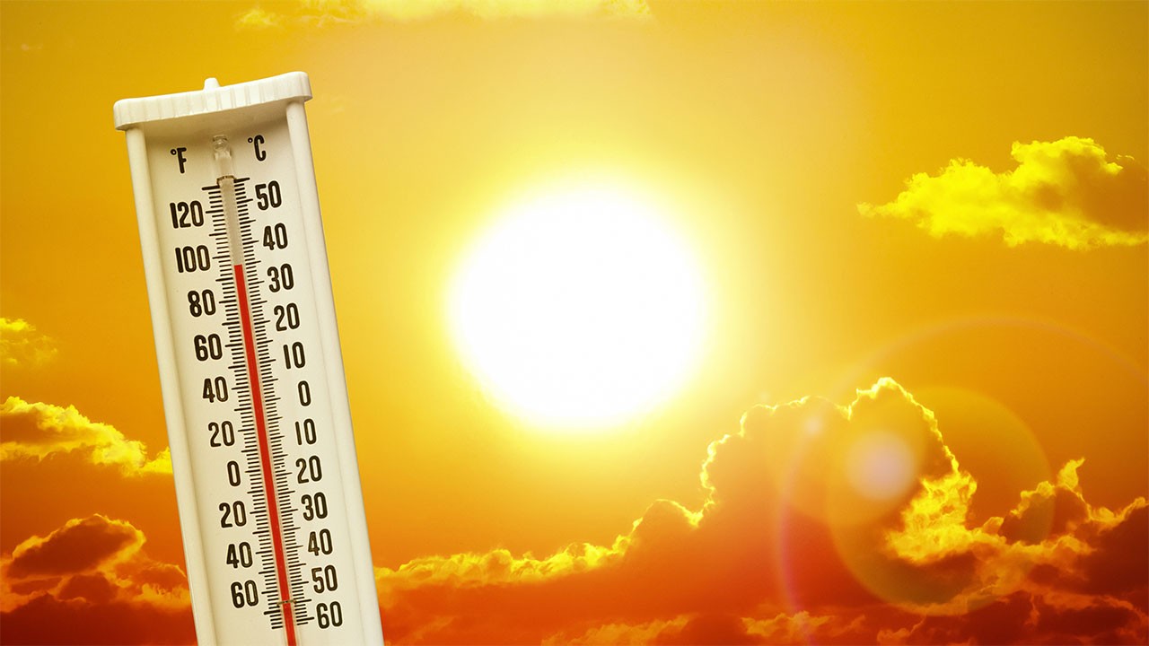
Keim says the lack of clouds and water on the surface to cool things off has led to the heatwave that’s been baking much of the state.