




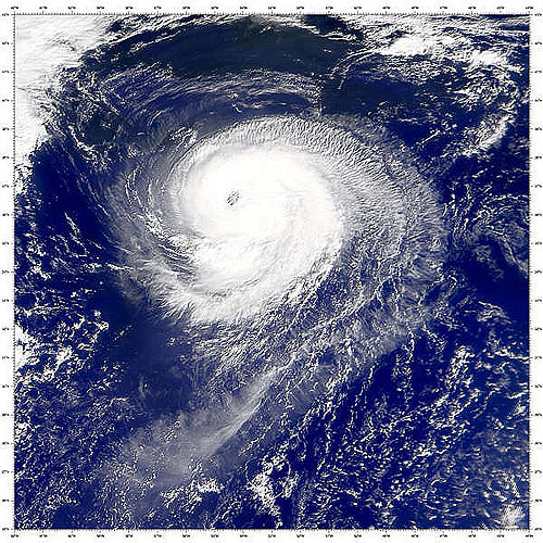
Today is October 6th; and we are still waiting for our first Atlantic hurricane of 2026. There’s a chance a disturbance brewing in the Bay of Campeche in the southwestern Gulf of Mexico could be it. National Weather Service Meteorologist Jacob Zeringue says conditions are favorable for development over the next couple of days.
“The wind shear that has been hampering activity this season has weakened; it’s not as strong currently where it’s at in the Gulf, and it’s expected to stay weak for the next couple of days before the system gets pulled to the north; and then the shear will increase after that,” Zeringue said.
Zeringue says that means it’s possible that after eight Atlantic tropical storms, we could see Hurricane Isaias.
“It does have a time period between tomorrow and Thursday to really strengthen as that wind shear stays low and the Gulf is really warm. So it does look like it has a shot to become our first hurricane of the season,” Zeringue noted.
The National Hurricane Center says there’s almost a 100% chance of a cyclone forming within the next 48 hours. Zeringue says two big questions remain – Will the storm be hurricane strength when it makes landfall, and where along the U.S. coast will it make landfall?
“The model consensus has been showing that anywhere, from the southeast Louisiana coast all the way to the Florida Panhandle, is in the realm of possibility for this thing to make landfall as we get towards Friday and Saturday,” Zeringue explained.
In the satellite era, there has never been a year without a hurricane in the Atlantic. We have never gone this late into the year without one; the previous record for the latest date for the first hurricane to form in the Atlantic was September 11th, accomplished in 2002 and 2014.